Steer Home

Main navigation

  • Sectors
    • Transportation
      • Active travel
      • Aviation
      • Freight & logistics
      • Ports & maritime
      • Rail, bus & transit
      • Roads, bridges & tunnels
      • Urban & rural mobility
    • Places & communities
      • Commercial real estate & housing
      • Community planning
      • Economic development & regeneration
      • Education & health
      • Leisure, arts & culture
      • Sports & major events
    • Resources
      • Energy
      • Property & land
      • Telecommunications & data
      • Water
  • Services
    • Advisory & financial
      • Market research & intelligence
      • Demand & revenue forecasting
      • Business & financial modelling
      • Capital programme advice & assurance
      • Project financing
      • Commercial & technical due diligence
      • Economic impact
    • Strategy & policy
      • Policy development
      • Business case & advocacy
      • New technologies
      • Regulation & competition
      • Sustainability & climate resilience
      • Strategy & management consulting
    • Planning, delivery & experience
      • Community engagement
      • Network design & operation
      • Cost modelling & strategies
      • Feasibility design & detailed design
      • Information & wayfinding
      • Infrastructure & development planning
    • Underpinning capabilities
      • Equity & inclusion
      • ESG
      • Data science & analytics
      • Monitoring & evaluation
  • Projects
  • Insights
  • Events
Regions
  • Global
  • North America
  • Latin America
  • Europe
  • UK & Ireland
  • India
Search
Contact
  1. Home
  2. Projects
  3. Redesigning the wayfinding system for Toronto PATH
City of Toronto & Financial District BIA, Canada

Redesigning the wayfinding system for Toronto PATH

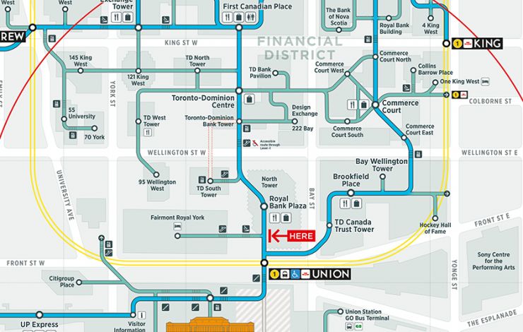
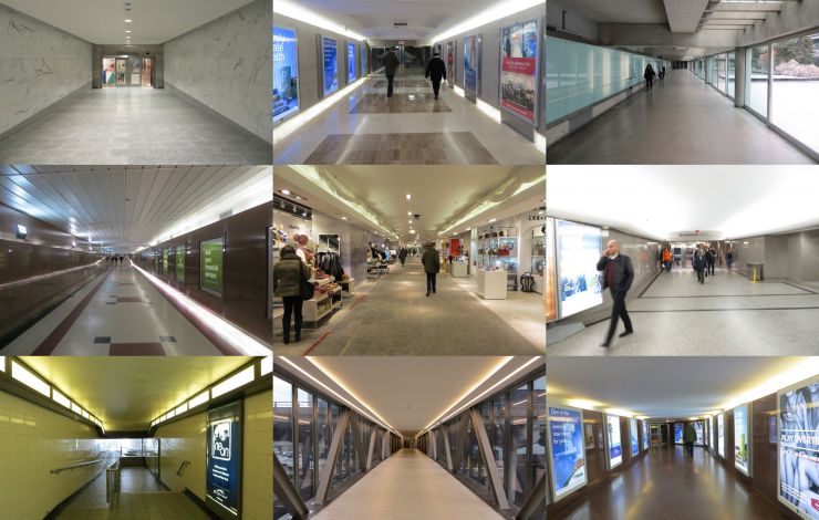
Toronto’s PATH is the world’s largest underground retail complex. It connects the office towers in Downtown Toronto, Canada and provides an important contribution to the economic viability of the city's downtown core. The system links seamlessly with public transit, and experiences more than 200,000 business-day commuters, and thousands of additional tourists, visitors and residents.

Steer was commissioned by the Toronto Financial District BIA to develop a functional specification and design concept for an improved PATH wayfinding system to meet the needs of PATH users and key stakeholders.

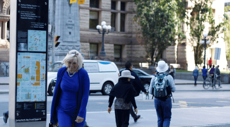
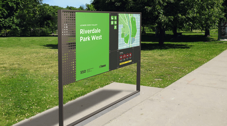
New PATH maps and signage focus on simplifying navigation within the PATH and getting people to major landmarks and neighbourhoods on the surface linking to the TO360 wayfinding system also designed by Steer’s Design team for the City of Toronto.

The PATH wayfinding system will be built around connector routes – continuous paths that allow users to navigate the entirety of the network – joining transportation hubs like Union Station to major destinations such as Yonge-Dundas Square. Branch routes will reveal retail and other amenities located off the connectors.

For every 1 per cent increase in regular PATH users — which is about 2,000 new users — the PATH generates $17 million in additional tax revenue, $2 million in HST and $285,000 in property tax revenue to the City of Toronto, according to a study completed in May by H. Barry Lyons Consultants Limited, entitled, “Opinion on the Economic Impact of an Improved Path Wayfinding System.”

Development of the concept design continues in 2016 with full implementation of a new system expected in 2018.

On
Steer group

We are Steer

Yes, you are in the right place. After 40 years, we have changed our name from Steer Davies Gleave to mark our growing international footprint and our expanding portfolio into sectors beyond transport.

Explore our new website to learn more about Steer: who we are, how we work and what our future holds.

Related projects

  • Toronto city
    View project
    City of Toronto, Canada

    Delivering a multimodal wayfinding strategy for the City of Toronto

  • Riverdale Park West
    View project
    City of Toronto, Canada

    Creating a wayfinding system for Toronto Parks

  • Brick Lane Threads banner
    View project
    London Borough of Tower Hamlets

    Brick Lane threads connectivity & wayfinding strategy

Complex challenges.
Powerful solutions. 

Footer menu

  • Sectors
  • People
  • Services
  • About
  • Projects
  • Careers
  • Insights
  • Contact
  • Events
  • Our impact

©2025 Steer      Legal & policies        Cookie settings

Subscribe to our newsletter

  • Facebook
  • Twitter
  • Linkedin
  • Instagram
  • Spotify

Back to top